Mapping the First World War / Peter Chasseaud.
Material type: MapPublisher: Glasgow : Collins, 2013Edition: First editionCartographic data: Scales differDescription: 1 atlas (304 pages) : illustrations (some color), maps (some color) ; 28 cmContent type:
 - cartographic image
- unmediated
- volume
- 9780007522200
- G 1037 CHA 2013
| Cover image | Item type | Current library | Home library | Collection | Shelving location | Call number | Materials specified | Vol info | URL | Copy number | Status | Notes | Date due | Barcode | Item holds | Item hold queue priority | Course reserves | |
|---|---|---|---|---|---|---|---|---|---|---|---|---|---|---|---|---|---|---|
 Book
Book
|
Main Library On Shelf | G 1037 CHA 2013 (Browse shelf(Opens below)) | 1 | Available | 33729005593756 |
"� HarperCollins Publishers 2013"--Page [2].
Published in association with the Imperial War Museums, London.
Color maps on lining papers.
Includes bibliographical references (pages 297-299) and index.
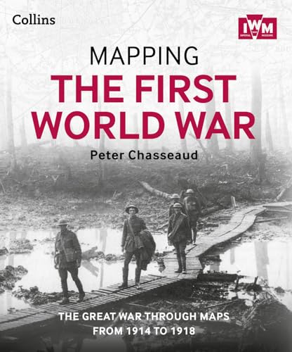
Follow the conflict of the World War 1 from 1914-1918 through a unique collection of historical maps, expert commentary and photographs. Published in association and including mapping from the archives of the Imperial War Museums. Over 100 maps demonstrating how the Great War was fought around the world. Types of maps featured: Small scale maps showing country boundaries and occupied territories ; Large-scale maps covering the key battles and offensives on all fronts of the war ; Trench maps showing detailed positions of the front line ; Maps from newspapers, battle planning and propaganda Key offensives covered include: The Battles of the Marne and Ypres ; Tannenberg and the Eastern Front ; Along with the maps, key historical events are described, giving an illustrated history of the war from an expert historian.
There are no comments on this title.